Guiding you through the Karst Features of the Driftless Area
Goodhue County Discovery Area
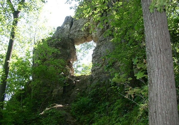
Frontenac State Park – In Yan Teopa Rock
29223 County 28 Blvd., Frontenac, MN 55026
Coordinates: 44.523734° N, -92.342140° W
Park at the picnic area for this hike. The Upper Bluffside Trail takes hikers across a steep 430-foot-high limestone bluff that overlooks Lake Pepin, a natural widening of the Mississippi, to In-Yan-Teopa rock to see this natural limestone arch on the blufftop.
Accessible?:No
Dog Friendly?:Yes
Time to Complete:2 hours
Distance:2 Miles (roundtrip)
Difficulty: Moderate/Strenuous
Maintained by: The Minnesota Department of Natural Resources